
 -55%
-55%
Sale!
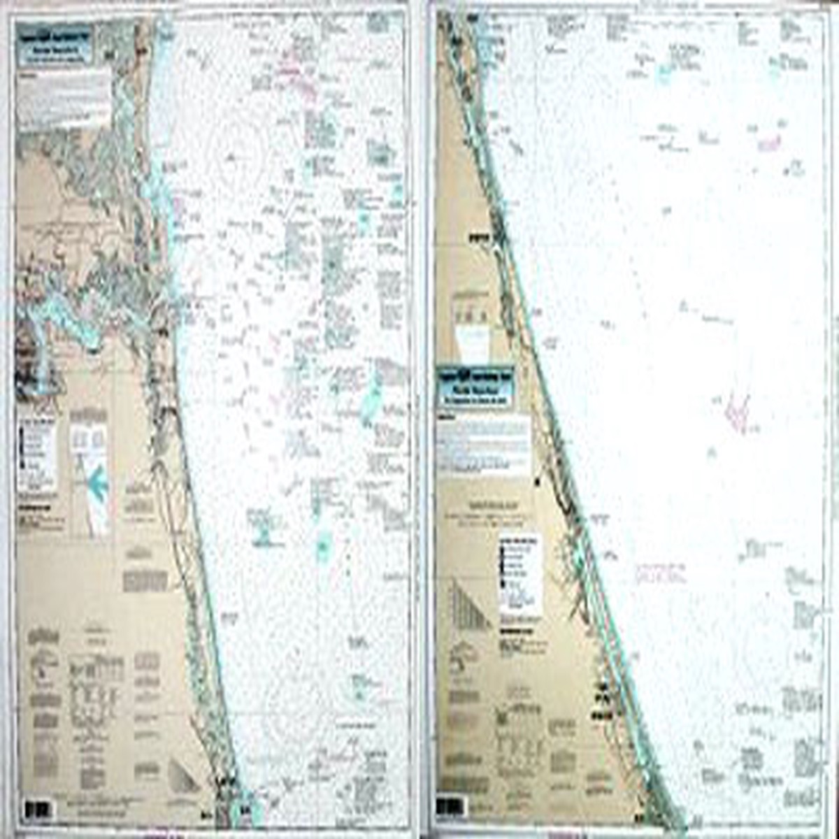
Captain Segull Chart - Nearshore Amelia Island to Ponce de Leon- FL
Price
Original price was: $19.99.$15.99Current price is: $15.99.
Free shipping over $40
Calculated automatically
Reliable delivery
Tracking provided when shipped
Easy returns
View return policy
Secure payment
Your payment details are protected
Overview Reviews Similar Products –> Product Description Captain Segull Chart – Nearshore Amelia Island to Ponce de Leon- FL Nearshore 20 – 30 miles off. Chart is 19 x 26 inches double sided and laminated Florida coastline Side A: Amelia Island to St. Augustine and side B: St. Augustine to Ponce de Leon. The Ponce de Leon Inlet is on the PCB34 chart. All charts include wrecks, reefs, shoals, fishing areas, amenities and restrictions. Please refer to our ICW booklets, and offshore charts in this area. Product Videos Custom Field Product Reviews Write a Review Write a Review Captain Seagull Captain Segull Chart – Nearshore Amelia Island to Ponce de Leon- FL Rating * Select Rating 1 star (worst) 2 stars 3 stars (average) 4 stars 5 stars (best) Name Email * Review Subject * Comments *
Only logged in customers who have purchased this product may leave a review.
You may also like
Related products
-55%
 -61%
-61%
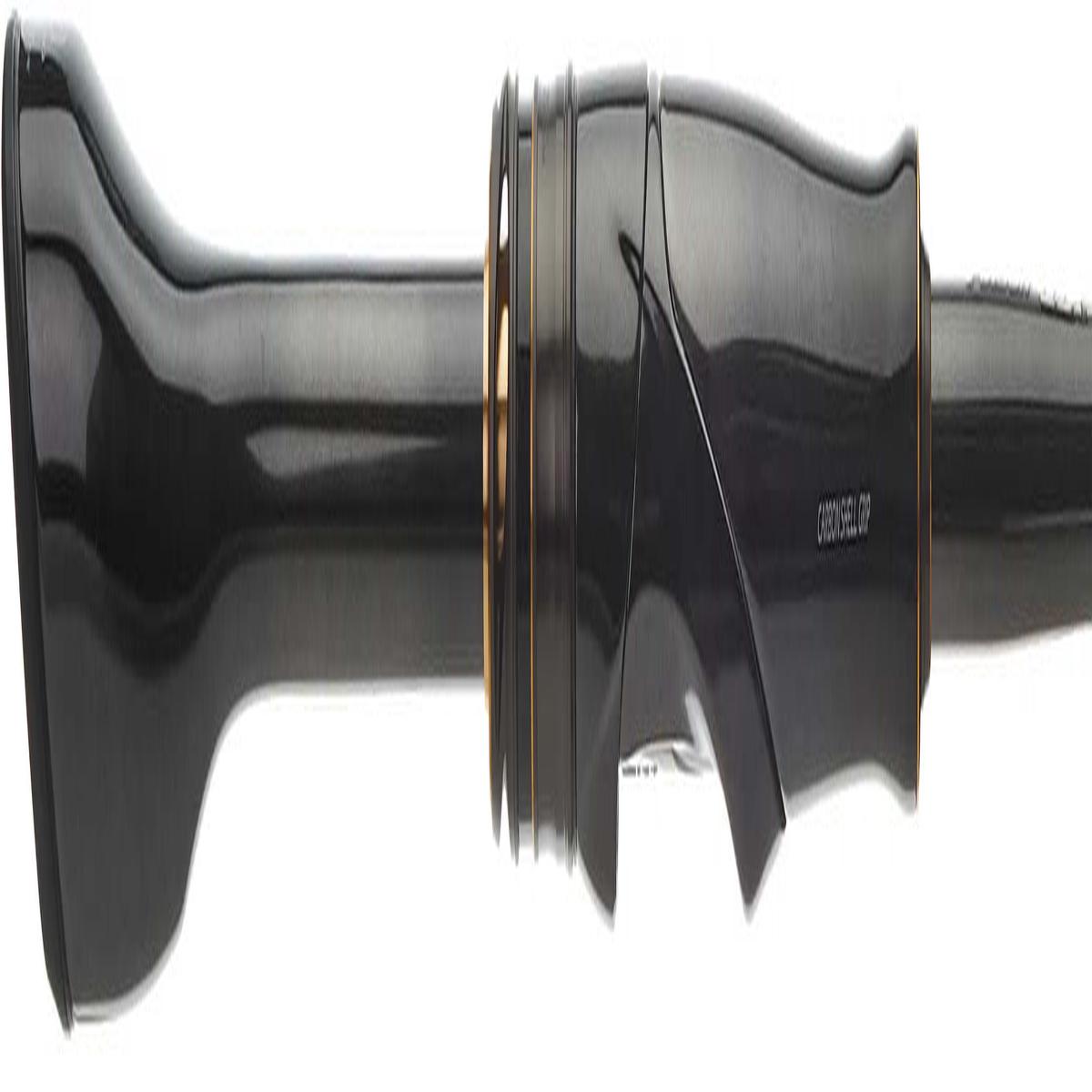
Shimano Poison Ultima Spinning Rods
 -70%
-70%
 -50%
-50%