
 -20%
-20%
Sale!
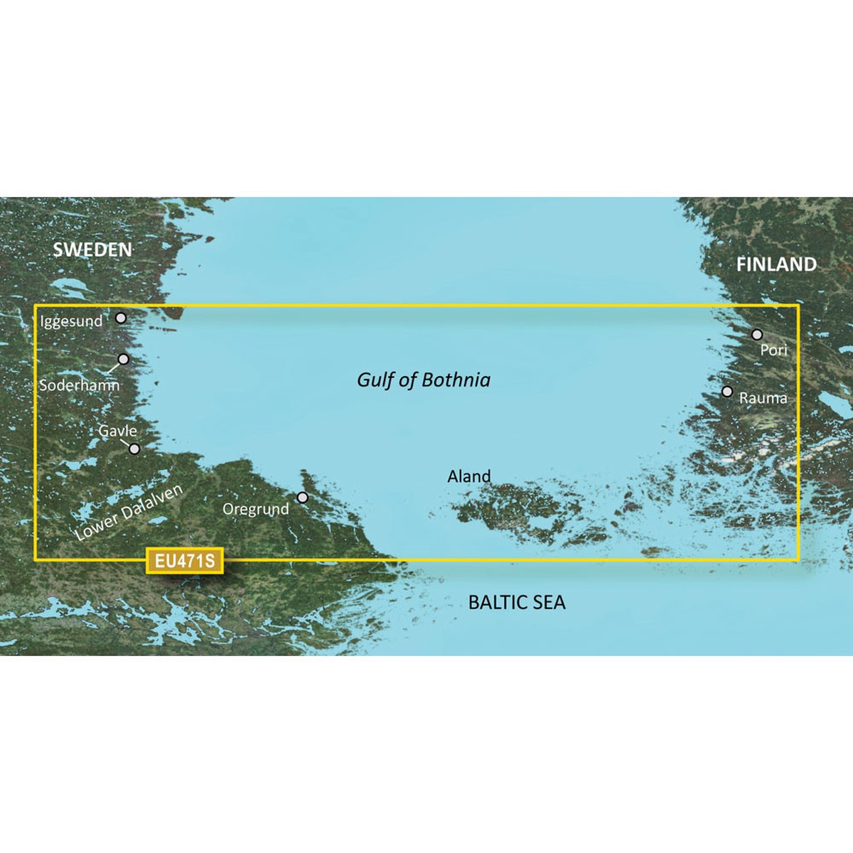
Garmin BlueChart g3 Vision HD - VEU471S - Gulf of Bothnia - microSD/SD
Price
Original price was: $164.99.$82.50Current price is: $82.50.
Free shipping over $40
Calculated automatically
Reliable delivery
Tracking provided when shipped
Easy returns
View return policy
Secure payment
Your payment details are protected
BlueChart g3 Vision HD – VEU471S – Gulf of Bothnia – microSD/SDCoverage:Detailed coverage of the Southern portion of the Gulf of Bothnia from Iggesund to regrund in Sweden and the cities of Pori and Rauma in Finland. Also includes detailed coverage of the cities of Hudiksvall, Gavle, Soderhamn, and Grisslehamn, as well as coverage of the lower Dallven from Gysinge to Sderfors, Swe. and the island of land, Fin.Premier Coastal ChartsIndustry-leading coverage, clarity and detail with updated coastal charts that feature integrated Garmin and Navionics contentAuto Guidance technology quickly calculates a suggested route by using your desired depth and overhead clearanceIncludes Depth Range Shading for up to 10 depth ranges, enabling you to view your target depth at a glanceUp to 1 contours provide a more accurate depiction of the bottom structure for improved fishing chartsTo give a clear picture of shallow waters to avoid, the Shallow Water Shading allows for shading at a user-defined depthExperience unparalleled coverage and brilliant detail when youre on the water. BlueChart g3 Vision coastal charts provide industry-leading coverage, clarity and detail with integrated Garmin and Navionics content.Auto GuidanceWhether you are fishing or cruising, select a spot, and get a route showing you the general path and nearby obstructions at a safe depth1.Depth Range ShadingThis feature displays high-resolution Depth Range Shading for up to 10 depth ranges so you can view your designated target depth.Shallow Water ShadingTo give a clear picture of shallow waters to avoid, this feature allows for shading at a user-defined depth.Detailed ContoursBlueChart g3 Vision charts feature 1 contours that provide a more accurate depiction of bottom structure for improved fishing charts and enhanced detail in swamps, canals and port plans.High-resolution Satellite ImageryHigh-resolution satellite imagery with navigational charts overlaid gives you a realistic view of your surroundings. Its our most realistic charting display in a chartplotter ideal for entering unfamiliar harbors or ports.FishEye ViewThis underwater perspective shows 3-D representation of bottom and contours as seen from below the waterline. Interface with sonar data for a customized view.MarinerEye ViewThis view provides a 3-D representation of the surrounding area both above and below the waterline.Aerial PhotographyCrystal-clear aerial photography shows exceptional detail of many ports, harbors and marinas and is ideal when entering unfamiliar ports.Auto Guidance is for planning purposes only and does not replace safe navigation practicesWARNING: This product can expose you to chemicals which are known to the State of California to cause cancer, birth defects or other reproductive harm. For more information go to P65Warnings.ca.gov.This product may not be returned to the original point of purchase. Please contact the manufacturer directly with any issues or concerns. Owner’s Manual (pdf)
Only logged in customers who have purchased this product may leave a review.
You may also like
Related products
-20%
![Star brite Power Pine Boat Wash - Concentrated Marine Grade Formula - 32 oz [93732]](https://www.leaderswivelsnap.com/wp-content/uploads/2026/09/30/1790739415/star-brite-power-pine-boat-wash-concentrated-marine-grade-formula-32-oz-93732.webp) -20%
-20%
 -61%
-61%
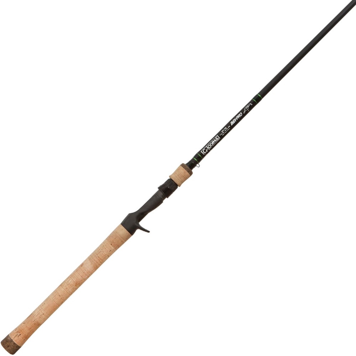
G. Loomis IMX-PRO 847C CBR Casting Rod - Crankbait
 -50%
-50%